RIBITS: Regulatory In-lieu fee and Bank Information Tracking System
Challenge
The destruction of wetlands in the United States has been a concern for many decades. The United States needed a national system to track the mitigation efforts for, and impacts to our wetlands to provide summary reports for Congress. Goals such as no-net-loss of wetlands could be outlined across the nation to indicate areas of concern and levels of success. Existing records and terminology varied greatly across many state lines as well as different agency lines, making a national standard essential.
Solution
ARA worked directly with the USACE Engineer Research and Development Center (ERDC) to develop RIBITS (Regulatory In-lieu fee and Bank Information Tracking System).
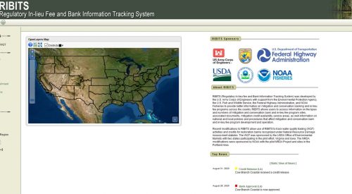
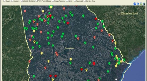
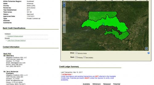
Since 2007, the RIBITS website https://ribits.ops.usace.army.mil has tracked mitigation bank and in-lieu fee (ILF) program operations for Corps Districts and other partners including the U.S. Fish and Wildlife Service (USFWS), National Marine Fisheries Service (NMFS), Federal Highways Administration (FHWA), National Oceanic and Atmospheric Administration (NOAA) and the Environmental Protection Agency (EPA). RIBITS provides the public with comprehensive information on 3rd party mitigation operations including provider contact information, credit ledgers, credit availability, geographic service areas, bank and ILF program documentation, and information on national, regional, and local compensatory mitigation policy and practices.
RIBITS contains data on more than 4,700 operational, pending, sold-out, and terminated bank and ILF project sites and 140 operational In-Lieu Fee programs located across the country. RIBITS tracks conservation banking activities and legacy data for more than 210 banks in 23 states. RIBITS tracks ILF programs that provide compensation for listed and at-risk species and now tracks water quality trading activities in Iowa and Virginia. RIBITS also tracks Natural Resource Damage Assessment activities under the Oil Pollution Act and Comprehensive Environmental Response, Compensation, and Liability Act.
During the course of the RIBITS project, ARA’s experienced development team provided significant areas of technical capability including information management (data modeling, database design, legacy data conversion and quality control) and geospatial processing (spatial data storage, Oracle Spatial Objects, Google Earth).


